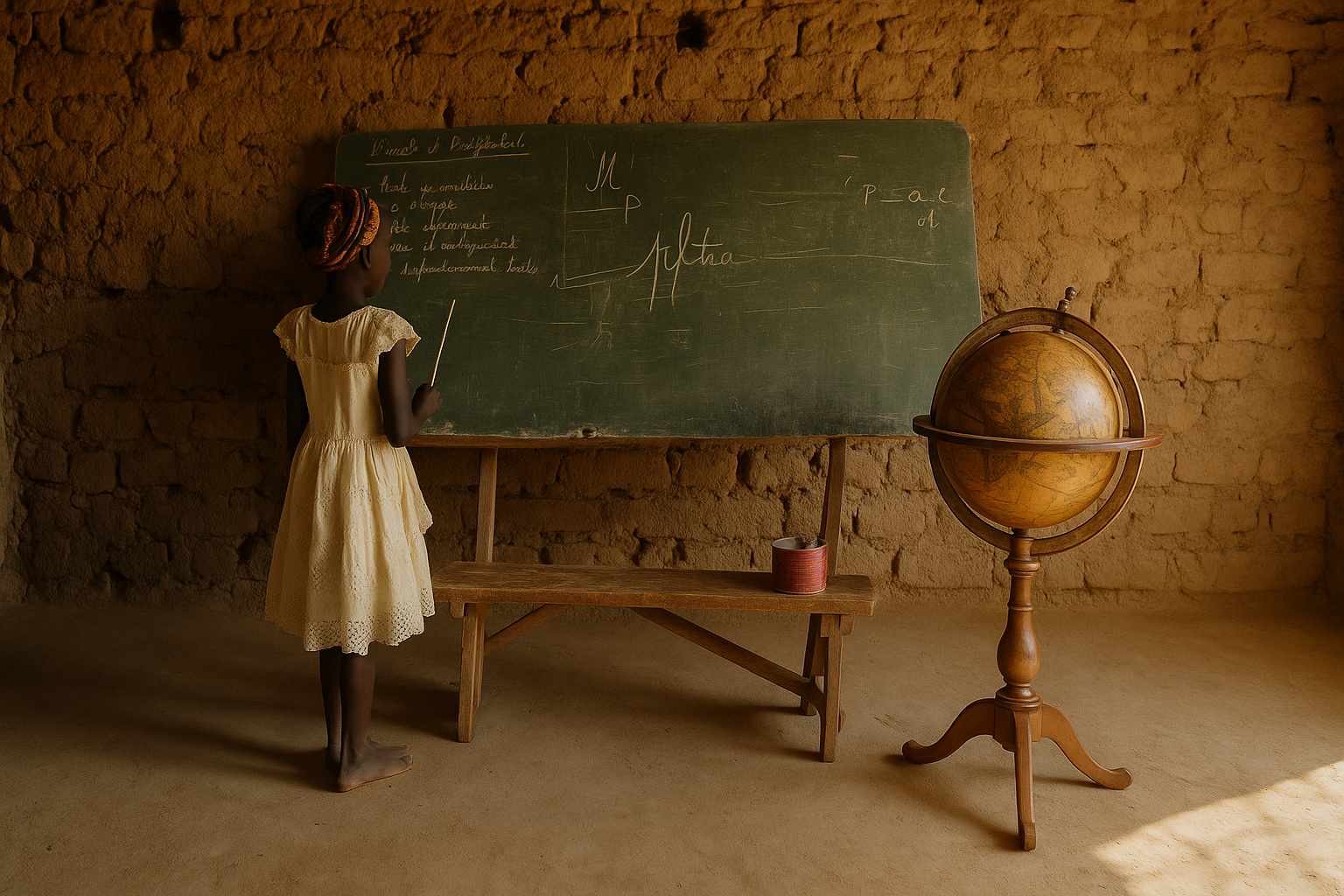
If it were redrawn to reflect actual contributions to civilization, their beloved continent would be shrunk to the size of a pea
/
African Union Wants End to Mercator Projection Map Use Over “Disinformation”
The officials from the organization want the adoption of a map system that more accurately shows Africa’s actual size. The AU asserts that the Mercator projection distorts global perceptions, “marginalizing” Africans in ways harmful to their “pride”.
“It might seem to be just a map, but in reality, it is not,” AU Commission deputy chairperson Selma Malika Haddadi told Reuters, saying the Mercator fostered a false impression that Africa was “marginal”, despite being the world’s second-largest continent by area, with over a billion people. The AU has 55 member states
The reason? African Union member unhappy with the relative size of the continent presented on those maps, as it makes them feel…marginalized.
It’s not fair! Says Mr. Matt Rosenberg:
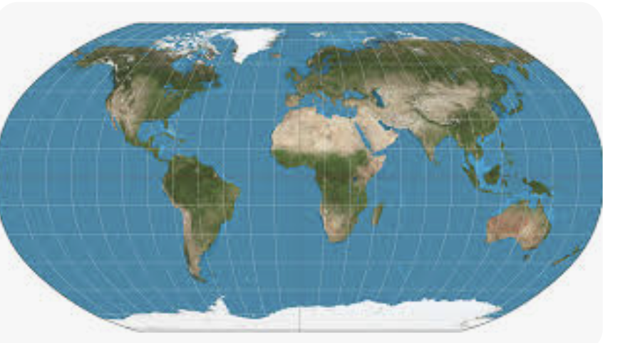
The Mercator Map
The Mercator projection was developed in 1569 by Gerardus Mercator as a navigational tool. This map's grid is rectangular and lines of latitude and longitude are parallel throughout. The Mercator map was designed as an aid to navigators with straight lines, loxodromes or rhumb lines—representing lines of constant compass bearing—that are perfect for "true" direction.
If a navigator wishes to sail from Spain to the West Indies using this map, all they have to do is draw a line between the two points. This tells them which compass direction to continually sail in until they reach their destination. But although this angular layout makes navigation easier, accuracy and bias are major disadvantages that can't be ignored.
Namely, the Mercator projection minimizes non-European or American countries and continents while enlarging privileged world powers. Africa, for example, is depicted as smaller than North America when it is, in reality, three times larger. Many feel that these discrepancies reflect racism and prejudice against underprivileged and developing countries. Pro-Peters folks often argue that this projection merely advantages colonial powers while disadvantaging others.
The Mercator map has always been inadequate as a world map due to its rectangular grid and shape, but geographically illiterate publishers once found it useful for designing wall, atlas, and book maps, even maps found in newspapers published by non-geographers. It became the standard map projection for most applications and is still cemented as the mental map of most westerners today.
Mercator Falls From Use
Fortunately, over the past few decades, the Mercator projection has fallen into disuse by most reliable sources. In a 1980s study, two British geographers discovered that the Mercator map did not exist among dozens of atlases examined.
Though some major map companies with less than reputable credentials still produce some maps using the Mercator projection, these are widely dismissed. As Mercator maps were already spiraling into obsoletion, a historian attempted to speed up this process by presenting a new map.
Rosenberg and the Africans are not alone in their outrage: Fortunately, all the best people are aware of this scandalous state of affairs and are determined to do something about it: No, not place three dimensional globes in classrooms; that would be too easy, and not in the spirit of todays’ scientific method: ban the use of any and all maps that offend woke sensibilities:
American Cartographers Resolution:
In 1989, seven North American professional geographic organizations (including the American Cartographic Association, National Council for Geographic Education, Association of American Geographers, and the National Geographic Society) adopted a resolution that called for a ban on all rectangular coordinate maps.
WHEREAS, the earth is round with a coordinate system composed entirely of circles, and
WHEREAS, flat world maps are more useful than globe maps, but flattening the globe surface necessarily greatly changes the appearance of Earth's features and coordinate systems, and
WHEREAS, world maps have a powerful and lasting effect on peoples' impressions of the shapes and sizes of lands and seas, their arrangement, and the nature of the coordinate system, and
WHEREAS, frequently seeing a greatly distorted map tends to make it "look right,"THEREFORE, we strongly urge book and map publishers, the media and government agencies to cease using rectangular world maps for general purposes or artistic displays.
How about this: Too simple?