Why is there no Greenwich entrance/exit for I-684? You can (sort of, kinda) blame the Dutch and the English for the routing of the highway itself, but not, it turns out, for the lack of an egress
/
Reader “Wannabelandlord” asks:
Question. Why does Greenwich not have an entrance or exit ramp to I-684? I imagine the option was presented during the Eisenhower days and old money blocked it. I guess the ramps by the airport work. Always found that corner of Greenwich to really be an extension of NY. I knew people that lived in that corner of town and White Plains was their Stamford.
I didn’t know the answer, although I did remember that the reason for Connecticut’s odd border line down here stems from a 1600s squabble between the the British and the Dutch, so I turned to Grok:
Question:
A small section of Interstate I-684 runs through Greenwich, CT, before weaving back into neighboring Westchester County, NY. A reader asks why there is no entrance/exit ramp in the Greenwich section. I believe, although as usual I may be wrong, that the routing of 684 somehow goes back to a border dispute in the 1600s between the Dutch settlers in New York and English in CT, but whether that laps over into the modern routing of 684, I don't know. Can you provide an answer that (a) tells the history of the original Dutch/English and (b) the history of how 684 came to be run through such a tiny portion of Greenwich?
Answer:
The short (about 1.4-mile) stretch of I-684 through northwestern Greenwich, Connecticut, has no entrance or exit ramps because of 1960s highway-engineering decisions aimed at avoiding reservoirs and minimizing environmental impact. It has no direct connection to the 17th-century Dutch-English border disputes, though those disputes created the irregular state line (Connecticut’s “panhandle”) that the road happens to cross.
(a) Colonial-era Dutch/English border history In the mid-1600s, the area around present-day Greenwich lay in a contested zone between the Dutch colony of New Netherland (centered on New Amsterdam/New York) and English settlements in Connecticut/New Haven.
English settlers (including Captain Daniel Patrick and Robert Feake) purchased land from Native Americans in 1640 and founded what became Greenwich. For protection amid regional tensions, they briefly allied with the Dutch (around 1642–1650), making the settlement part of New Netherland for a time.
A 1650 provisional agreement (Treaty of Hartford) between Connecticut and the Dutch set a mainland boundary starting near Greenwich Bay and running north, but it was never fully ratified by England (which did not recognize Dutch claims).
After the English seized New Netherland in 1664 (and after Connecticut’s 1662 charter claimed vast western lands), conflicting royal grants and patents fueled ongoing disputes. A 1664 agreement placed the border farther west in some interpretations, but conflicts continued over towns like Rye, Greenwich, and Stamford.
The key settlement came in 1683 (ratified later and surveyed more fully by 1731): The border was generally set about 20 miles east of the Hudson River. New York recognized Connecticut’s claim to the settled southwestern area east of the Byram River (creating Connecticut’s “panhandle” or “handle of the cleaver,” including Greenwich, Stamford, etc.). In exchange, Connecticut ceded an equivalent strip of land farther north—known as “the Oblong” (roughly 1.8 miles wide and extending north toward Massachusetts)—to New York, and New York gained clear title to Rye.
This produced the modern irregular border, with Greenwich’s northwest corner jutting westward into what is otherwise New York territory. Disputes over the precise line continued into the 18th and 19th centuries (with final formalizations in the late 1800s), but the basic shape was fixed by the 1680s agreements. The colonial history explains why there is a thin Connecticut “panhandle” that I-684 can cross, but not the highway’s specific alignment or lack of ramps.
(b) How I-684 came to run through that tiny Greenwich section (and why no ramps)
I-684 originated as a planned north-south expressway roughly along the NY 22 corridor in Westchester County, intended to link the New York City area (via I-287/Cross Westchester Expressway and the Hutchinson River Parkway) northward toward I-84 near Brewster. In the early 1960s it was designated as part of I-87; the southern section (White Plains to Armonk, including the Connecticut bit) opened in October 1968 as I-87 and was renumbered I-684 in 1970 after the main I-87 designation shifted to the Thruway corridor west of the Hudson.
Route selection involved significant local controversy in the early 1960s over whether the road should pass east or west of Byram Lake (in the towns of North Castle and Bedford). Public hearings were lengthy. The eastern alignment ultimately chosen required a short dip into the western tip of Greenwich, Connecticut. Key reasons for this path included:
Avoiding or minimizing impact on Rye Lake (part of the Kensico Reservoir system, an important New York City water-supply source).
Finding a route that engineers judged would do the least overall harm to the area (including wildlife sanctuaries and other features). Connecticut’s governor and highway officials approved the short segment after reviewing alternatives.
The stretch runs through relatively remote, wooded/swampy terrain in Greenwich’s northwest corner with no practical need or suitable location for local interchanges. Nearby exits are just south (Exit 2 for NY 120 / Westchester County Airport area, in New York) and just north (Exit 3 for NY 22 / Armonk-Bedford, also in New York). Building ramps into Connecticut would have required additional construction into low-density or constrained land with little traffic justification for local access.
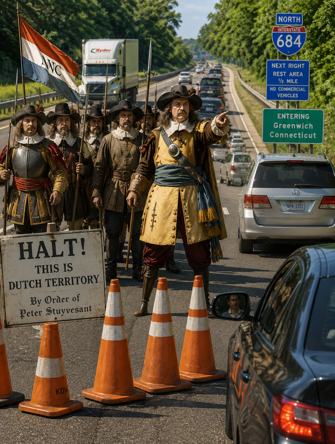
Under a mid-1960s inter-state agreement, New York largely handles maintenance, snow removal, policing, and emergency response on the Connecticut segment (with Connecticut reimbursing costs in some arrangements), even though Connecticut owns the right-of-way. Drivers see “Entering Greenwich, Connecticut” signs but remain on a continuous New York-maintained freeway.
In short: The colonial border disputes shaped the jagged state line that the highway crosses, but the decision to route I-684 through that corner (without ramps) was a practical 1960s engineering choice driven by reservoir protection, terrain, and impact minimization—not a legacy of 1600s politics.