
Your child won’t be reading about this in his state indoctrination class
/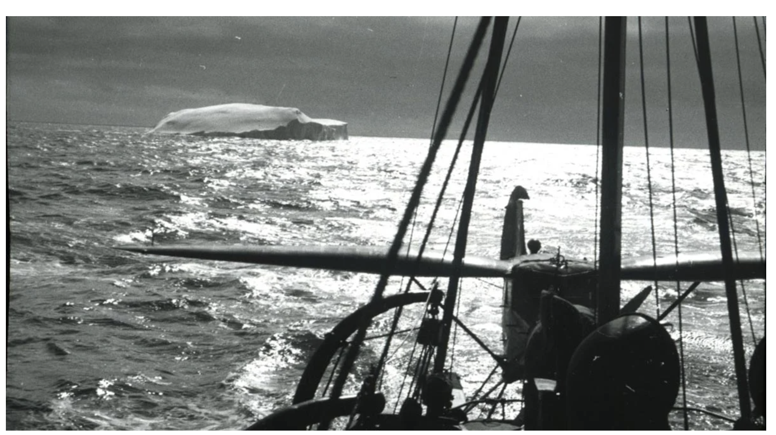
WEIRD TO SEE THIS IN A MAINSTREAM OUTLET: Challenging Modern Climate Narratives: Forgotten 1937 Aerial Photos Expose Antarctic Anomaly. “A study using a whaler’s forgotten aerial photos from 1937 shows East Antarctica’s ice has been stable and even grown, despite some early signs of weakening. . . . Using hundreds of old aerial photographs dating back to 1937, combined with modern computer technology, researchers have tracked the evolution of glaciers in East Antarctica. This area, which spans approximately 2,000 kilometers of coastline, contains as much ice as the entire Greenland Ice Sheet. By comparing the historical aerial photos with modern satellite data, researchers determined the glaciers’ movement and changes in size, revealing that the ice has not only remained stable but also grown slightly over the last 85 years, partly due to increased snowfall. . . . Compared to modern data, the ice flow speeds are unchanged. While some glaciers have thinned over shorter intermediate periods of 10-20 years, they have remained stable or grown slightly in the long term, indicating a system in balance.”
And this is kind neat:
Hidden From the Nazis
Most of the images used in the study were captured during a 1937 expedition organized and paid for by Norwegian whaler Lars Christensen. The mission aimed to produce the first maps of this part of East Antarctica, but the maps were never published due to the German invasion of Norway. Since then, the images have been stored at the Norwegian Polar Institute in Tromsø and forgotten.
When the researchers from the University of Copenhagen read about the expedition, they realized that valuable images were likely hidden in an archive in Norway. They traveled to Tromsø and reviewed all 2200 images taken during the expedition. They supplemented the Norwegian aerial images with images of the same glaciers from Australian surveys conducted between 1950 and 1974.
“By comparing the historical aerial photos with modern satellite data, we have gained critical knowledge about glaciers that we would not otherwise have had. I think it’s fantastic that these old images can be used to generated new research results almost 100 years after they were taken,” says Assistant Professor Anders Bjørk from the University of Copenhagen, who leads the group working with the historical images.
