Stupid wokeness aside, there’s a financial scam going on here that makes the Somalans look like careful stewards of the public purse

The Maine State Breastfeeding Coalition posted that this August for National Breastfeeding Month, though they have since deactivated their Instagram page (any guesses why?).

National Breastfeeding Month is for every family.

We're proud to celebrate and uplift trans lactation, chestfeeding, and Two-Spirit families during National Breastfeeding Month.

Every family deserves affirming, respectful, and evidence-based care.

Creating inclusive spaces means recognizing that parents use different words to describe their feeding journeys, and honoring each person's identity and lived experience.

When healthcare, communities, and support systems are inclusive, families are better able to meet their feeding goals and feel empowered along the way.

Milk makes families, and every family belongs.

Turns out, there’s an entire “industry” milking at the public’s teat

Checking out the Maine Breastfeeders website, I was dismayed to discover that there’s something called a “professional lactation consultant” whose services, by dictate of ObamaKare, must be reimbursed 100%, with no co-pay allowed. Now a small portion of that income stream is in jeopardy, at least for United HealthCare insureds, and the leeches are horrified: starting September 1st, United will pay for just one consulting and education session for the lactating “person” per day, and will not cover a seperate charge for the infant, no doubt because of a reasonable assumption that such a seperate charge has everything to do with double-billing, and nothing to do with any possible benefit a 6-week-old baby can receive from her own a consultation with a trained professional lactation expert.

From the breastfeeders’ own website:

In June, UnitedHealthcare (UHC) published an update bulletin that, among other things, announced a revision to UHC’s reimbursement policy on the billing code S9443 – typically used to cover no-copay lactation education and counseling.

Specifically, UHC will only reimburse claims submitted for the lactating parent, not the infant. The health insurer is also limiting the number of sessions that it will reimburse to one per day.

The changes will go into effect on September 1.
What this means for lactation professionals.

This change only applies to patients with a UHC health insurance plan and only to billing code S9443. Depending on a provider’s licenses and practice setting, other evaluation and management billing codes might still be available unchanged. UHC is not eliminating coverage for preventive lactation services (that would be illegal: see below) nor lowering rates for these services.

However, this change will have the effect of reducing payments to lactation professionals who will no longer be able to bill for both members of the breastfeeding dyad nor for multiple consultations provided in the same day. 

Digging a little further into this subject, I discovered that it’s a nationwide racket that even has its own business consultants for lactose consultants. And while I couldn’t find a calculation of the total amount spent by insurance companies and the various states and the federal government, I did learn that there’s big money in that there milk:

Lactation Consultant Salary in the United States

How much does a Lactation Consultant make in the United States?

As of August 01, 2026, the average salary for a Lactation Consultant in the United States is $111,543 per year, which breaks down to an hourly rate of $54.

However, a Lactation Consultant's salary can vary significantly. Here’s a look at the typical salary range:

  • Top Earners (90th percentile): $125,627

  • Majority Range (25th-75th percentile): $99,799 to $118,915

  • Entry-Level (10th percentile): $89,107

How many other niche “medical” problems have revenue centers like this one? I have no idea, but I’m sure we’re spending billions and billions of dollars on them. It’s no wonder there’s such fierce resistance to Trump’s administration investigating them.
Well of course he does — it's what they do

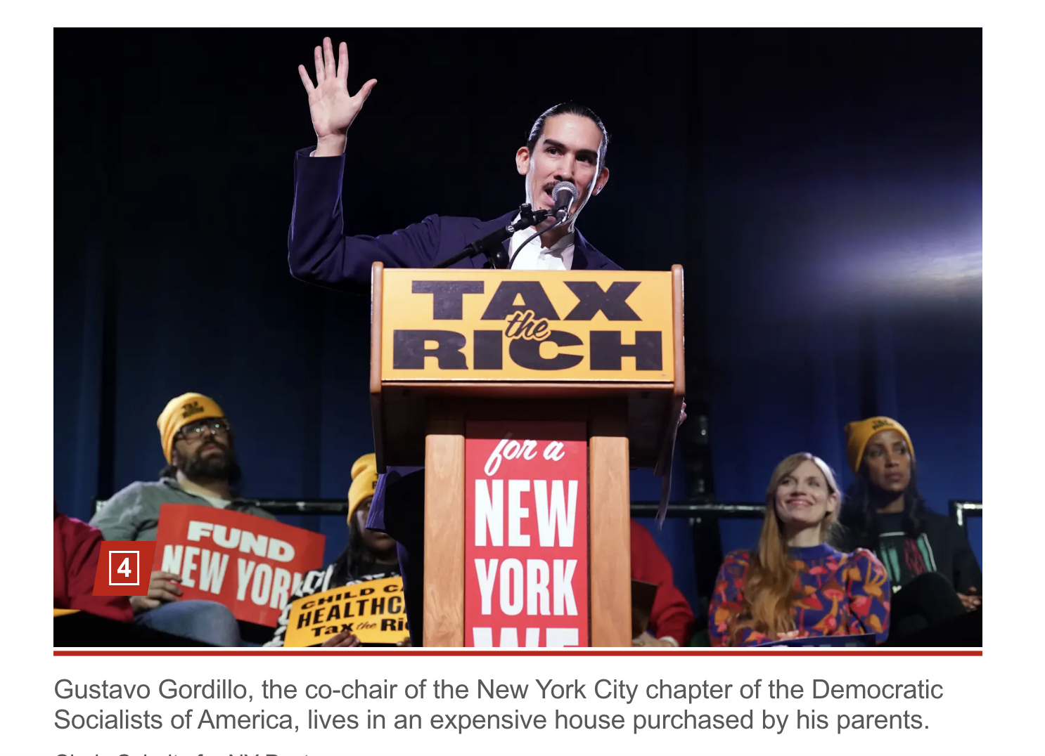
The millionaire parents of a whiny top DSA leader have set up their socialist son in a $1.5 million Brooklyn home — where he lives while railing against the rich and property ownership, The Post has learned.

Gustavo Gordillo, the 38-year-old co-chair of the New York City chapter of the Democratic Socialists of America, is peddling his anti-capitalist lefty agenda while enjoying the life in the two-story, nearly 2,000-square-foot row home on a gentrifying tree-lined block in Bed-Stuy.

“I wish my family could afford to buy me a million-dollar home,” said local renter Faith Smith, 36 — who called the socialist Yale University grad a hypocrite. 

“It’s a rich kid,’’ she said of the Yalie. “That’s basically people who don’t have to deal with the struggles we have to deal with.”

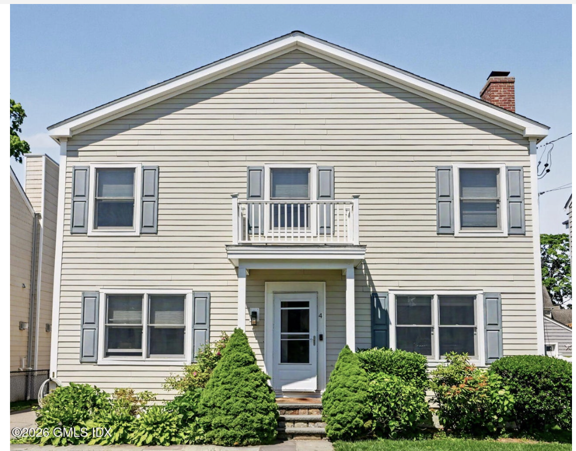
The Ivy League radical’s converted single-family home was bought in 2019 by his mommy and daddy through a dummy corporation, Chucuito LLC, for just under $1 million, property records show

Since then, it has undergone a major facelift, with renovations done to its entire front facade, the planting of lush landscaping, the revamping of the interior and the addition a pair of decks on the roof as well as near the front door, according to plans filed with the borough in 2023.

Updates to the property continued Tuesday at least on its second floor, The Post observed.

“My son and my other son both live there,” Gordillo’s father said when reached by phone. “The LLC purchased the home, and then we did the renovations.”

Who GOES on these things?

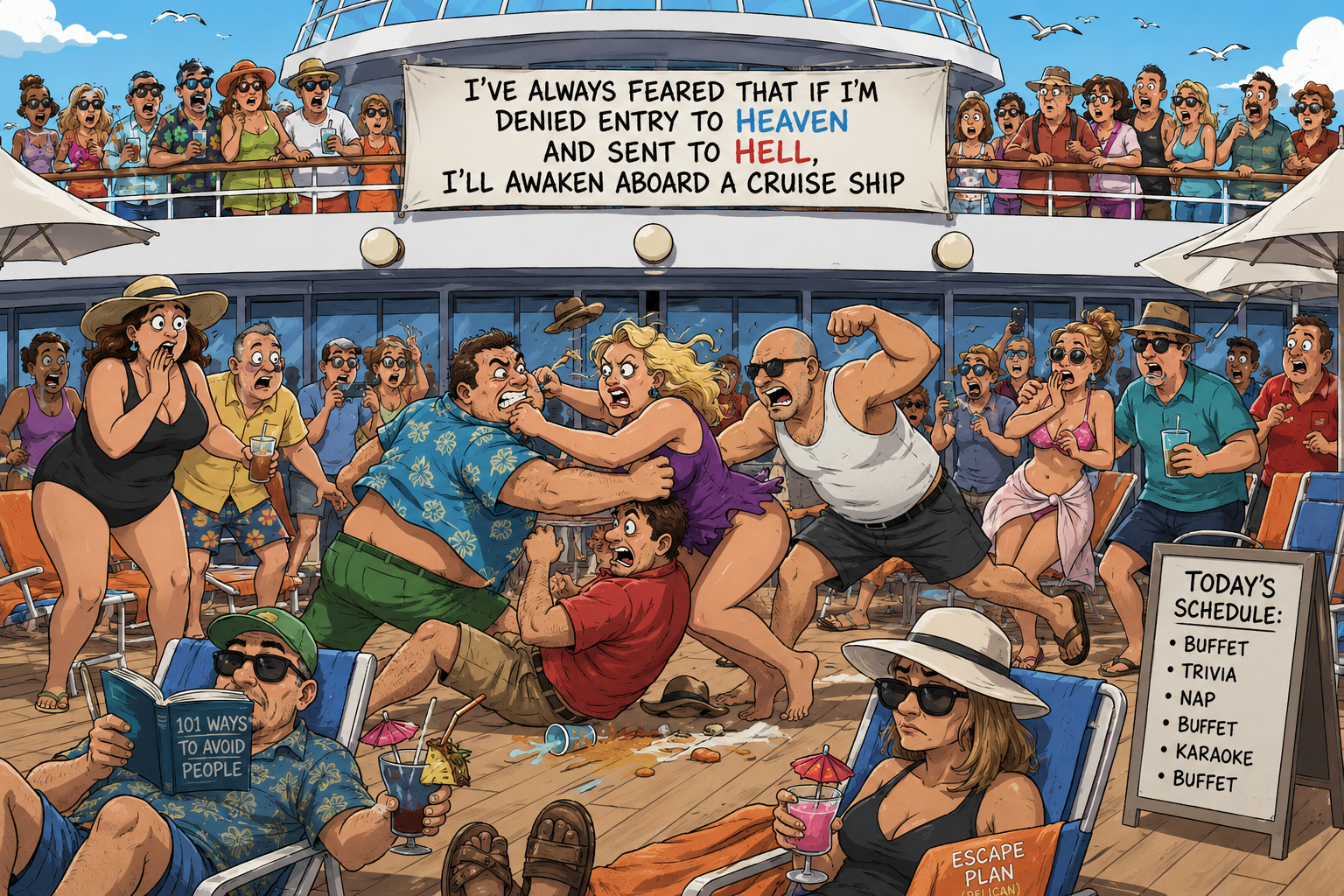
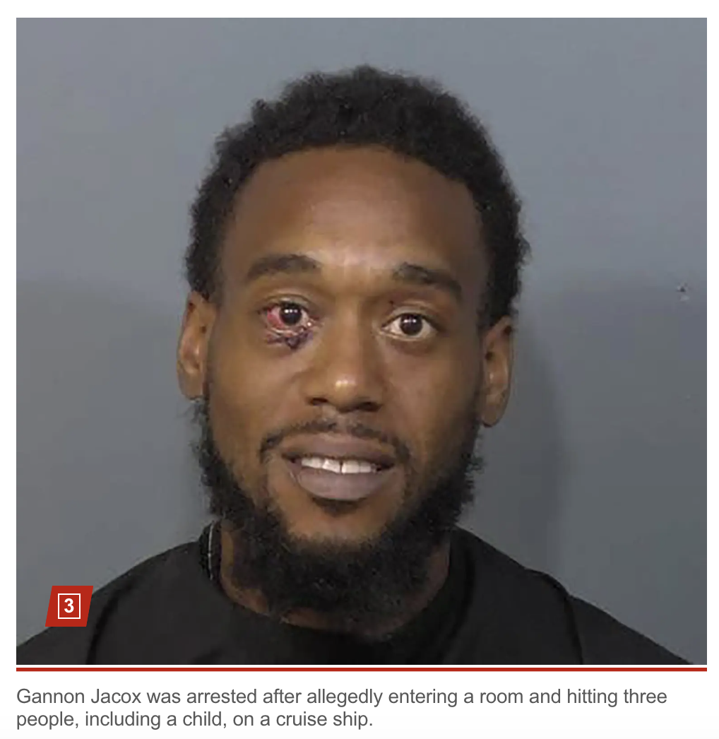
Drunk Ohio couple arrested after allegedly attacking family and punching their 9-year-old in cruise ship cabin: cops

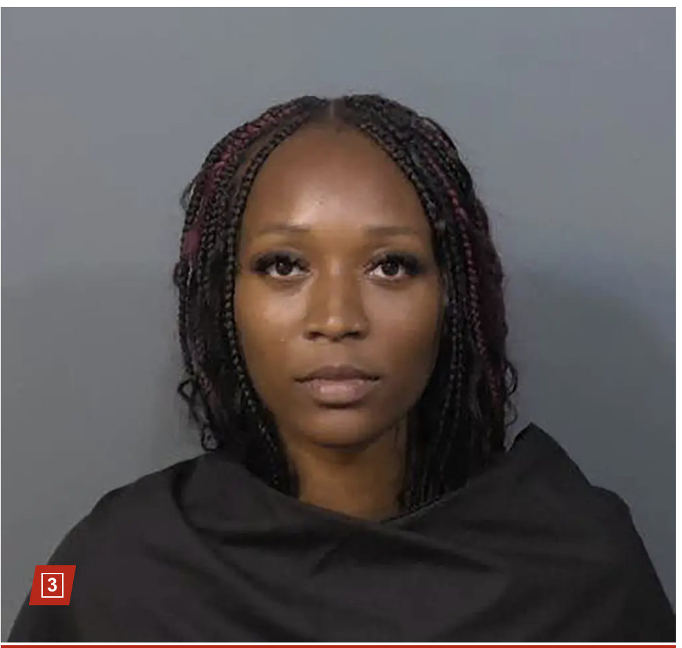
Gannon Jacox, 29, and his girlfriend Brooklyn Hicks, 28, were arrested on Saturday evening at Port Canaveral, about 40 miles from Orlando International Airport, following the dust-up on the ship, Brevard County Sheriff Wayne Ivey wrote on the department’s Facebook page.

The suspects, both from Ohio, “were apparently arguing loudly after taking advantage of some adult beverages” when one of the victims asked them to quiet down — prompting the pair to confront the victim and get in their face outside the family’s cabin door, Ivey wrote.

The allegedly drunken passengers then “pushed their way into the victim’s room,” where Jacox began attacking two adult victims and their 9-year-old child, Ivey wrote.

“As a fight ensued Jacox ends up hitting all 3 people (including the child) and Hicks was just swinging, hoping one would land,” Ivey wrote.

“Jacox got a pretty gross injury to his eye, that was either caused by one of the victims or friendly fire from the Haymakers his girlfriend was throwing!”

None of the family members “were seriously injured in this ridiculous escapade,” Ivey wrote.

Jacox was charged with burglary with battery and child abuse without great bodily harm, while Hicks was charged with burglary with battery and battery-touch/strike following the attack after the unidentified cruise ship returned to Port Canaveral, the sheriff’s office said.

Both suspects were booked into the Brevard County Jail.

Surprisingly this isn’t a picture of one of the victims.

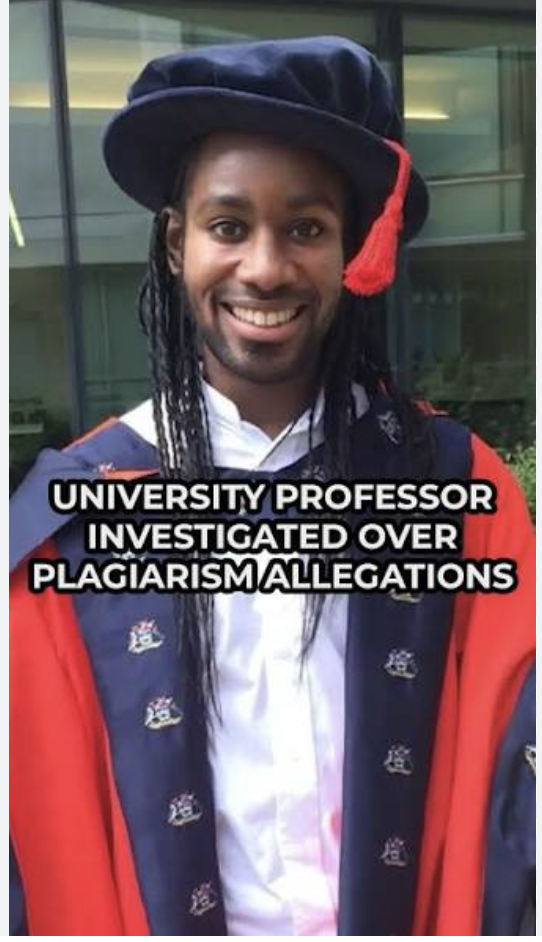
Neither is this:

From the Arday Chronicles

The Cambridge Fraud (properly, the “fraud that is Cambridge”) professor Jason Arday is gone, but the stench lingers on.

At least they were speaking to the same audience

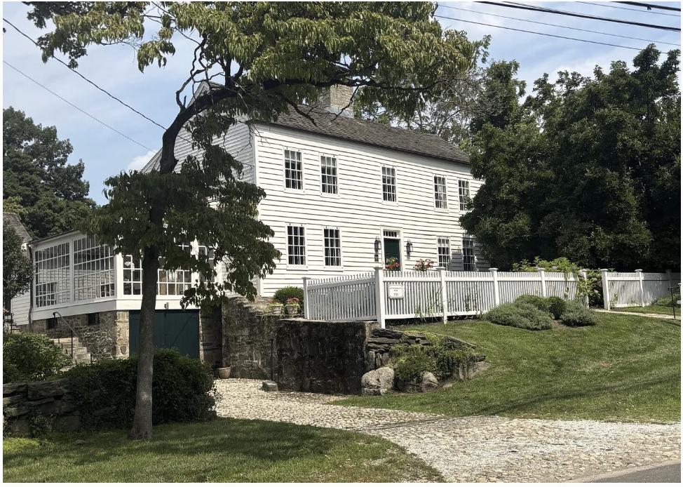
It must be the day for Greenwich history: here's an article on what we thought was the Nathaniel Peck house, circa 1745; turns out, it’s even older than that

Chris Franco, who has been involved with the preservation of a number of historic homes in town, including the oldest house in Old Greenwich and the oldest in Riverside, now owns, along with his wife Rachel, the home at 44 Sound Beach Avenue, and has written a fascinating piece on its newly discovered history, much of it unearthed by Franco himself.

Much too lengthy to excerpt it coherently, but very much not too long to read in its entirety, here’s how it starts:

To the thousands of drivers who pass 44 Sound Beach Avenue in Old Greenwich, CT, every day as they drive up or down Sound Beach Avenue, the charming, five-bay Colonial house sitting proudly on its elevated knoll at the corner of Manor Road is simply a beautiful historical property.

Its clipped boxwoods, white picket fence, and massive central stone chimney collectively evoke a postcard-perfect vision of old New England. But behind its charming exterior lies a fascinating 323-year historical epic.

Far from being just an old family home, recent forensic architectural analysis and archival discoveries have officially recognized this structure as an authentic First Period architectural treasure.

Previously recognized by the Greenwich Historical Society as the c. 1750 Nathaniel Peck Jr. House, based on comprehensive new research the Historical Society has updated the historical record and now recognizes the house as the “Reynolds-Peck House, c. 1703”.

Definitely read the whole thing.

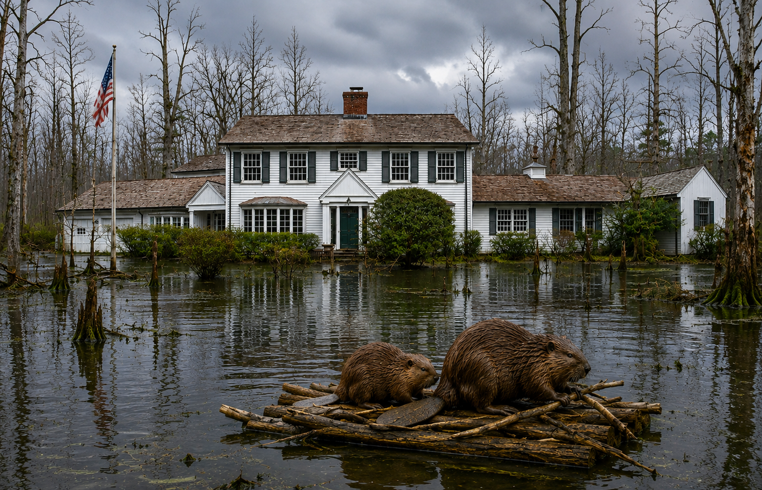
Between the flood waters of "Riverside's most coveted swamp" and storm runoff from Cathlow Drive above, there's no fear here of being left high and dry

177 Indian Head Road has finally sold, for $4.475 million. The owners paid $4.2 for this 1960 house in 2008, then unwisely poured a ton of money into it. The buyers are from Riverside, so they presumably knowledgeable enough to know that adjacent to is not IN “One of Riverside's most coveted waterfront enclaves”.

If they were hard bargainers, those buyers would have insisted that a pair of his and her stilts be thrown into the bargain.

The Highway Saga continues, Part III: Henry Croft, the actual driving force behind "Rockefeller's Loop" on the Merritt.

Mansions of the Gilded Age

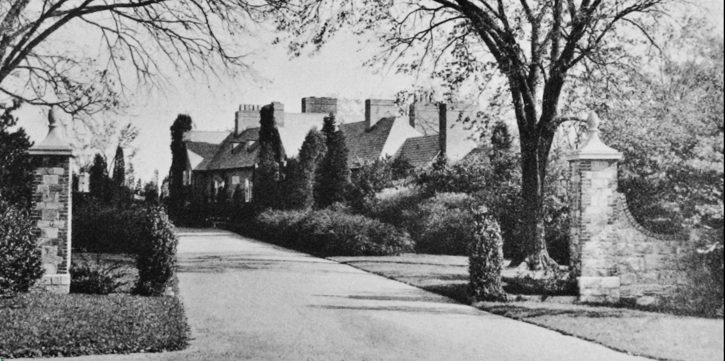
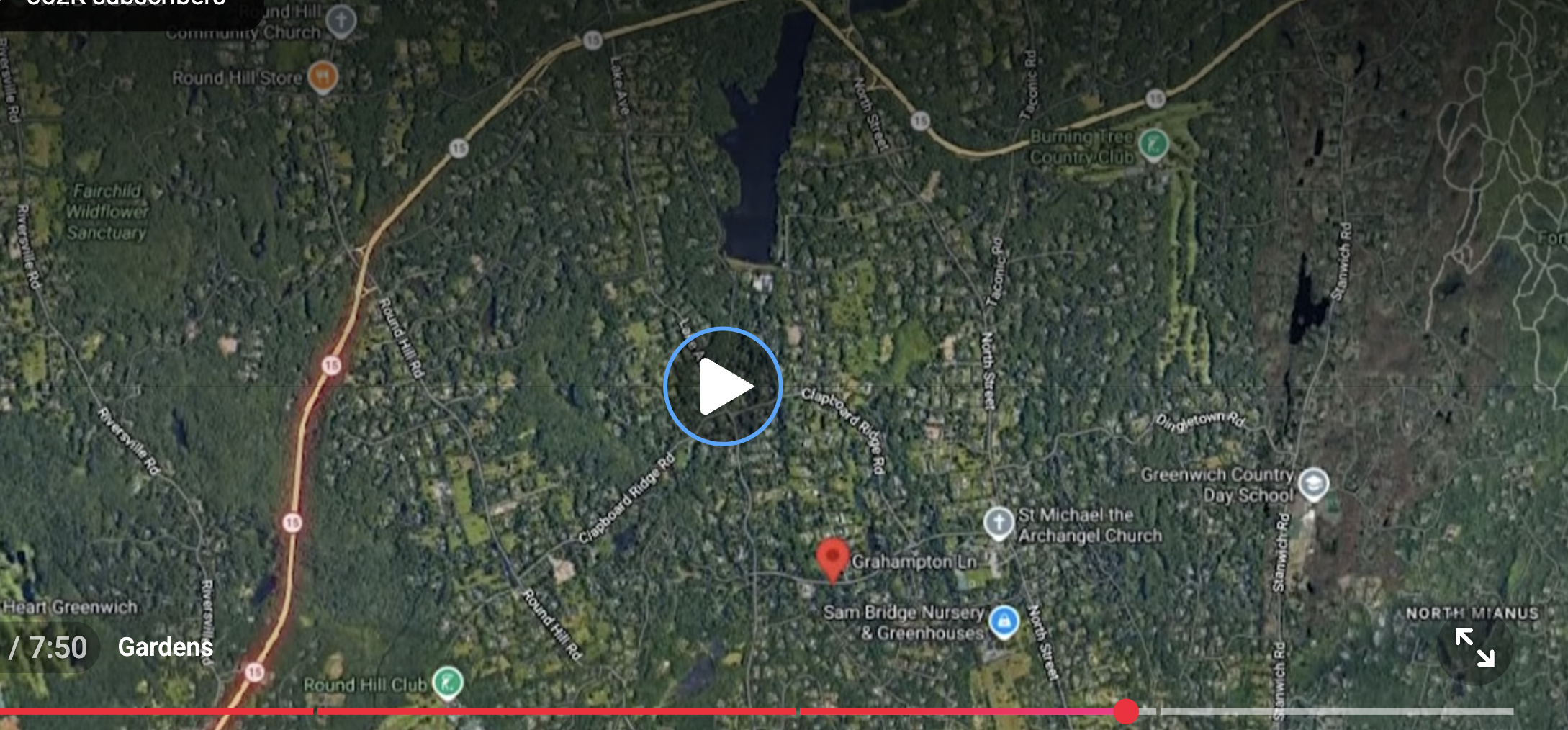
Grahampton estate at Greenwich, Connecticut. Built 1915-1917 by industrialist Henry William Croft of Pittsburgh, and named for his wife, Augusta Graham Croft. Henry Croft was chief of finance and administration for the Harbison-Walker Refractories Company of Pittsburgh - manufacturers of firebrick. The Crofts acquired 278 acres, originally consisting of five seperate farms. The property, located in the mid-country estate section of Greenwich, was bounded on the north by Clapboard Ridge Road, on the south by Parsonage Road, on the west by Lake Avenue and Parsonage Road, and on the east by Northbrook Farm. Greatly reduced by subdivision for residential lots over the years, Grahampton mansion eventually occupied only five of its original 278 acres !

Chat GPT

Henry (Harry) William Croft was a Pittsburgh industrialist whose large mid-country Greenwich estate played a documented role in forcing the Merritt Parkway’s distinctive northward curve (the feature some locals still call “Rockefeller’s Loop”) through the town.Who he wasCroft made his fortune manufacturing refractory firebricks used to line blast furnaces—products essential to the steel industry, including Andrew Carnegie’s operations. He rose to chairman of the board of the Harbison-Walker Refractories Company in Pittsburgh. Around 1919 he retired and, with his wife Augusta Graham Croft, turned to building a country estate in Greenwich.

They purchased five farms in the Clapboard Ridge / mid-country area (lands that had belonged in part to old Greenwich families such as the Meads and Pecks) and assembled roughly 287–300 acres into a single property they named Grahampton (after Augusta’s maiden name). The main house, a substantial brick manor of about 12,300 square feet designed by the Pittsburgh firm Janssen & Abbott (also referenced as Johnson and Abbott), was completed around 1917. Landscape work began with James L. Greenleaf and later involved the noted garden designer Ellen Biddle Shipman. The estate featured formal gardens, lawns, and the amenities expected of a Gilded Age–era country place; the Crofts entertained lavishly there and eventually lived year-round.

Role in the Merritt Parkway alignment

In the 1930s, when Connecticut planned the Merritt Parkway (initially called the Merritt Highway) as a limited-access scenic alternative to the congested Boston Post Road (U.S. 1), one proposed alignment would have run straight through the heart of the manicured Grahampton estate.

Croft refused. He would not sell or allow the road to bisect or destroy the property he and his wife had created. Working with other politically connected “backcountry” landowners—collectively referred to at the time as “blockers”—he helped pressure highway officials to shift the route northward. The result was the pronounced bulge or northward curve the Merritt still follows through Greenwich before it resumes a more easterly course. That detour is the lasting physical legacy of their opposition; the parkway’s Greenwich section opened in 1938.

This is the specific episode local memory sometimes folds into the broader “Rockefeller’s Loop” nickname. The Rockefeller family did hold large tracts in Greenwich and were part of the same wealthy landowning class that resisted intrusive alignments, but contemporary and later accounts that name an individual for this particular curve point to Croft and the Grahampton estate rather than a Rockefeller property.

AftermathCroft died in 1947 at age 81. The vast estate was gradually subdivided over subsequent decades. The road that runs through the former grounds is still called Grahampton Lane. The main house survives on a much-reduced parcel (listings in recent years have shown it on roughly 5 acres), preserving the core of what Croft fought to protect.

In short, Croft was not a shadowy political operator in the modern sense; he was a wealthy retiree who used his resources and connections, as many Gold Coast landowners did, to keep a major public-works project from carving up his private domain. The Merritt’s enduring curve through Greenwich is the visible result.

More on I-684 : Asked and Answered (at least to my satisfaction — your results may differ))

A couple of readers of the original post on I-684 offered different theories on why the route runs through GReenwich, so I posed further questions to ChatGTP:

Question:

I posted your history on I-684 and several readers added other claims/allegations. The first is that, in order to qualify as an "interstate" and thus qualify for federal funding, the road has to pass through at least a portion of CT, and this then nearly undeveloped corner of Greenwich was selected. The second was a claim that then-First Selectman of Greenwich, Lowell Weicker, later to go on to the Senate, then the governorship, played a hand in bringing the road into Greenwich in order to get a slice of federal pie and placate the rich folk living further east who feared that an alternative route would run through their porperty.

I do remember reading the "qualify for federal funding" theory before, but the second claim about Weiker I'm not so sure about; Weicker was involved in lots of shady deals during his time in Greenwich, but this particular ploy doesn't ring any memory chimes. Some of us still call the name of the huge curve, bending north for several miles before returning south, that the Wilbur Cross/Merritt Parkway takes at the NY/CT border as "Rockefeller's Loop", a reference to the Rockefeller family’s large land holdings inmiddle Greenwich that the kept free of the Depression era road project, and perhaps those two stories were conflated? Thoughts?

Answer:

The “must cross into CT for interstate/federal-funding” claim is a persistent myth with no factual basis. The Weicker involvement claim also lacks supporting evidence. The “Rockefeller’s Loop” nickname for the Merritt Parkway curve is local lore that mixes real landowner influence with specifics that don’t fully match the documented history.Federal-funding / “must enter CT” claimInterstate designation and the associated 90% federal construction funding under the Interstate Highway System did not require a route to cross state lines. Many Interstates lie entirely within one state (examples include I-4 in Florida, I-27 in Texas, and numerous others). Designation depended on inclusion in the approved national system of routes connecting major cities/metropolitan areas, meeting design standards, and receiving federal approval—not on multi-state mileage.

I-684 (originally planned and briefly signed as part of I-87) was a New York project along the NY 22 corridor to link the Cross Westchester Expressway/I-287 area northward toward I-84 near Brewster. The short (~1.4-mile) dip into northwestern Greenwich resulted from the final 1960s alignment decision east of Byram Lake. That choice prioritized:

  • Avoiding or minimizing impact on Rye Lake (part of the Kensico Reservoir system, a New York City water-supply source).

  • Reducing harm to wildlife sanctuaries and other features compared with western alternatives.

    nycroads.com

….

People sometimes recall a “had to touch CT” story, but contemporary engineering records and later histories attribute the path to reservoir protection, terrain, and impact minimization—not funding rules.

Weicker Claim:

Lowell P. Weicker Jr. served as Greenwich First Selectman roughly 1964–1968 (after earlier service in the Connecticut House). He later became a U.S. Representative, Senator, and Governor. No reliable historical accounts link him to the I-684 routing decision or to any scheme to “bring the road into Greenwich” for federal money or to shield richer properties farther east.

The core route choices and public hearings occurred mainly in 1961–1964 (NY engineers, Westchester stakeholders, CT state officials including Gov. John Dempsey). Construction of the southern section (including the CT bit) proceeded in the mid-to-late 1960s and opened in 1968. Weicker’s documented local priorities as First Selectman centered on items such as the train station, Greenwich Plaza development, and parks—not this highway alignment. The geography also doesn’t support a “protect the rich farther east” motive: the CT segment is the far northwestern corner; alternatives under debate were primarily within New York towns, and eastern Greenwich properties were not the ones at issue.Claims of “shady deals” exist in other contexts of Weicker’s career, but this particular ploy does not appear in road histories, contemporary reporting, or later accounts. It reads as later folklore or conflation.

“Rockefeller’s Loop” on the Merritt / Wilbur Cross Parkway

This is local nickname/lore for the pronounced northward curve (or “bulge”) the Merritt Parkway takes near the NY/CT border in Greenwich before continuing. The Merritt (1930s Depression-era project, completed ~1938–1940) was designed as a scenic, landscaped parkway that followed terrain and faced strong opposition from wealthy Fairfield County landowners who formed groups to shape or resist alignments that would cut through estates.

Documented accounts attribute the specific Greenwich curve more directly to resistance from industrialist Henry Croft (and other “blockers”), who successfully pushed the route north of his holdings along Clapboard Ridge Road / Grahampton Lane, creating the lasting bulge.

The Rockefeller family did hold extensive land in Greenwich (William A. Rockefeller and descendants in areas including Glenville, Lake Avenue vicinity, Deer Park, Rockwood, Indian Spring, etc., totaling hundreds of acres at peaks; some later subdivided). Their influence, along with other Gold Coast estates, contributed to the broader pattern of wealthy opposition that shaped the parkway’s curving, less-direct path. However, primary sources do not single out Rockefeller holdings as the direct cause of that specific loop in the way the nickname implies. (Separate allegations of route shifts to avoid Rockefeller properties appear more in the context of I-684 planning farther west in New York’s Pocantico Hills area.)

In short: the colonial border created the panhandle that made a CT dip possible, 1960s engineering and environmental choices (not funding rules or Weicker) put I-684 through the undeveloped northwest corner without ramps, and the Merritt’s famous curve reflects 1930s landowner politics (with Rockefellers as part of the wealthy milieu, but not the sole documented cause of the nickname’s specific feature). Local memory often blends these threads, which is understandable given the region’s layered history of powerful estates and highway fights.

{So now on to Henry Croft — wh was he? Part III, above}

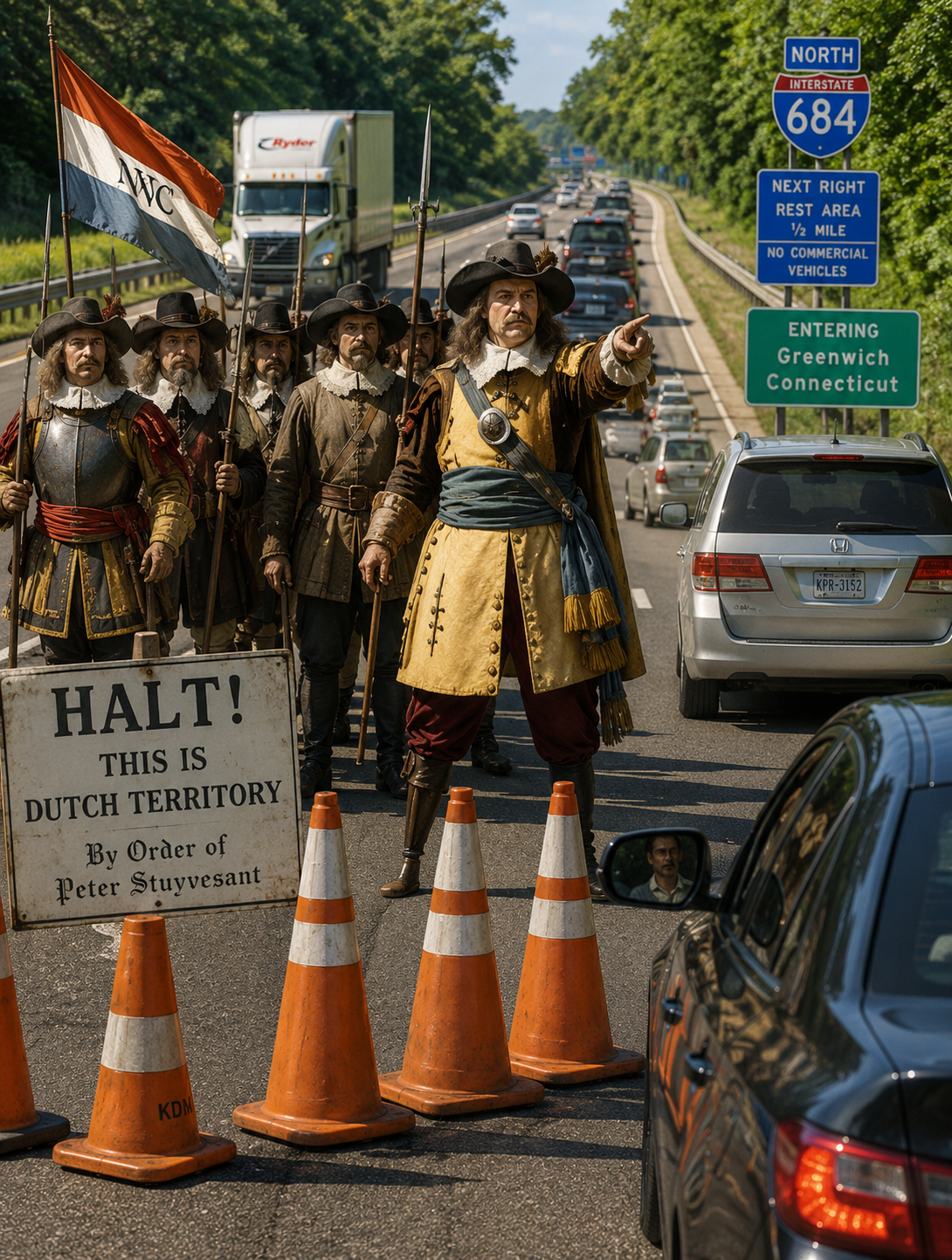
Why is there no Greenwich entrance/exit for I-684? You can (sort of, kinda) blame the Dutch and the English for the routing of the highway itself, but not, it turns out, for the lack of an egress

Reader “Wannabelandlord” asks:

Question. Why does Greenwich not have an entrance or exit ramp to I-684? I imagine the option was presented during the Eisenhower days and old money blocked it. I guess the ramps by the airport work. Always found that corner of Greenwich to really be an extension of NY. I knew people that lived in that corner of town and White Plains was their Stamford.

I didn’t know the answer, although I did remember that the reason for Connecticut’s odd border line down here stems from a 1600s squabble between the the British and the Dutch, so I turned to Grok:

Question:

A small section of Interstate I-684 runs through Greenwich, CT, before weaving back into neighboring Westchester County, NY. A reader asks why there is no entrance/exit ramp in the Greenwich section. I believe, although as usual I may be wrong, that the routing of 684 somehow goes back to a border dispute in the 1600s between the Dutch settlers in New York and English in CT, but whether that laps over into the modern routing of 684, I don't know. Can you provide an answer that (a) tells the history of the original Dutch/English and (b) the history of how 684 came to be run through such a tiny portion of Greenwich?

Answer:

The short (about 1.4-mile) stretch of I-684 through northwestern Greenwich, Connecticut, has no entrance or exit ramps because of 1960s highway-engineering decisions aimed at avoiding reservoirs and minimizing environmental impact. It has no direct connection to the 17th-century Dutch-English border disputes, though those disputes created the irregular state line (Connecticut’s “panhandle”) that the road happens to cross.

kurumi.com

(a) Colonial-era Dutch/English border history In the mid-1600s, the area around present-day Greenwich lay in a contested zone between the Dutch colony of New Netherland (centered on New Amsterdam/New York) and English settlements in Connecticut/New Haven.

  • English settlers (including Captain Daniel Patrick and Robert Feake) purchased land from Native Americans in 1640 and founded what became Greenwich. For protection amid regional tensions, they briefly allied with the Dutch (around 1642–1650), making the settlement part of New Netherland for a time.

    ctgenweb.org

  • A 1650 provisional agreement (Treaty of Hartford) between Connecticut and the Dutch set a mainland boundary starting near Greenwich Bay and running north, but it was never fully ratified by England (which did not recognize Dutch claims).

    connecticuthistory.org

  • After the English seized New Netherland in 1664 (and after Connecticut’s 1662 charter claimed vast western lands), conflicting royal grants and patents fueled ongoing disputes. A 1664 agreement placed the border farther west in some interpretations, but conflicts continued over towns like Rye, Greenwich, and Stamford.

  • The key settlement came in 1683 (ratified later and surveyed more fully by 1731): The border was generally set about 20 miles east of the Hudson River. New York recognized Connecticut’s claim to the settled southwestern area east of the Byram River (creating Connecticut’s “panhandle” or “handle of the cleaver,” including Greenwich, Stamford, etc.). In exchange, Connecticut ceded an equivalent strip of land farther north—known as “the Oblong” (roughly 1.8 miles wide and extending north toward Massachusetts)—to New York, and New York gained clear title to Rye.

    libguides.ctstatelibrary.org

This produced the modern irregular border, with Greenwich’s northwest corner jutting westward into what is otherwise New York territory. Disputes over the precise line continued into the 18th and 19th centuries (with final formalizations in the late 1800s), but the basic shape was fixed by the 1680s agreements. The colonial history explains why there is a thin Connecticut “panhandle” that I-684 can cross, but not the highway’s specific alignment or lack of ramps.

(b) How I-684 came to run through that tiny Greenwich section (and why no ramps)

I-684 originated as a planned north-south expressway roughly along the NY 22 corridor in Westchester County, intended to link the New York City area (via I-287/Cross Westchester Expressway and the Hutchinson River Parkway) northward toward I-84 near Brewster. In the early 1960s it was designated as part of I-87; the southern section (White Plains to Armonk, including the Connecticut bit) opened in October 1968 as I-87 and was renumbered I-684 in 1970 after the main I-87 designation shifted to the Thruway corridor west of the Hudson.

Route selection involved significant local controversy in the early 1960s over whether the road should pass east or west of Byram Lake (in the towns of North Castle and Bedford). Public hearings were lengthy. The eastern alignment ultimately chosen required a short dip into the western tip of Greenwich, Connecticut. Key reasons for this path included:

  • Avoiding or minimizing impact on Rye Lake (part of the Kensico Reservoir system, an important New York City water-supply source).

  • Finding a route that engineers judged would do the least overall harm to the area (including wildlife sanctuaries and other features). Connecticut’s governor and highway officials approved the short segment after reviewing alternatives.

    nycroads.com

The stretch runs through relatively remote, wooded/swampy terrain in Greenwich’s northwest corner with no practical need or suitable location for local interchanges. Nearby exits are just south (Exit 2 for NY 120 / Westchester County Airport area, in New York) and just north (Exit 3 for NY 22 / Armonk-Bedford, also in New York). Building ramps into Connecticut would have required additional construction into low-density or constrained land with little traffic justification for local access.

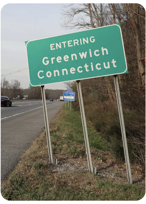
Under a mid-1960s inter-state agreement, New York largely handles maintenance, snow removal, policing, and emergency response on the Connecticut segment (with Connecticut reimbursing costs in some arrangements), even though Connecticut owns the right-of-way. Drivers see “Entering Greenwich, Connecticut” signs but remain on a continuous New York-maintained freeway.

In short: The colonial border disputes shaped the jagged state line that the highway crosses, but the decision to route I-684 through that corner (without ramps) was a practical 1960s engineering choice driven by reservoir protection, terrain, and impact minimization—not a legacy of 1600s politics.